Tell you about places, directions and objects. Every sign with its number, picture and explanation. Pick a group or search for a sign by name.
 Information signs27
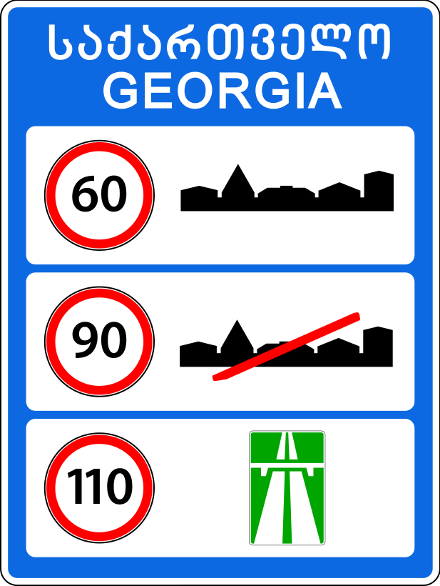
Provides information on the general speed limits established by the traffic rules on the roads of Georgia. The sign is placed at the entrance to the territory of Georgia, at the border checkpoint.
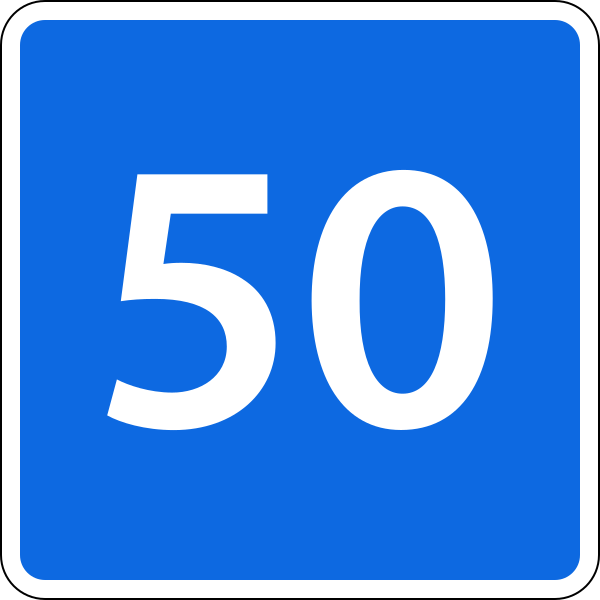
Indicates the speed at which it is recommended to travel on the given section of road. The sign is placed at the beginning of the road. The sign applies up to the nearest intersection, and when used together with a warning sign − over the entire length of the hazardous section.
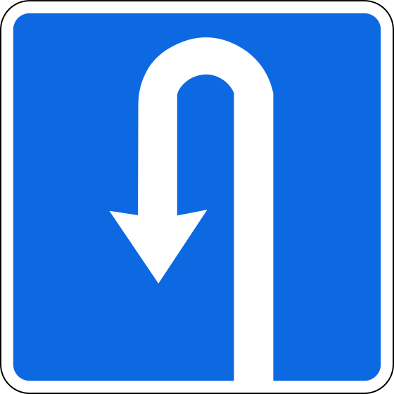
Indicates a place for making a U-turn. The sign is placed in front of or above the U-turn point, or in advance with plate 8.1.1. The sign does not permit a left turn.
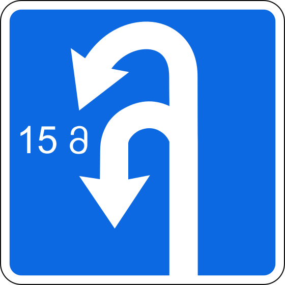
Indicates the length of the U-turn zone. The sign is placed in front of or above the U-turn point, or in advance with plate 8.1.1. The sign does not permit a left turn.
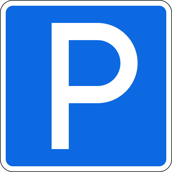
A place intended for parking vehicles. The area covered by the sign is defined by road markings; where there are none, the sign applies up to the nearest intersection or is limited by plate 8.2.1.
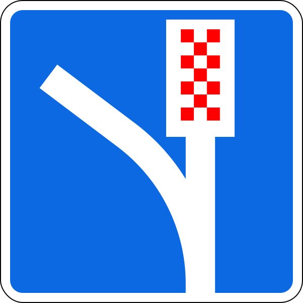
Indicates that there is an emergency stopping lane on a steep descent. The sign is placed in front of the entrance to the emergency stopping lane.
Pedestrian subway. The sign is placed at every entrance to and at the pedestrian crossing.
Pedestrian footbridge. The sign is placed at every entrance to and at the pedestrian crossing.
A road with no through exit. The sign is placed at the beginning of the road.
A road with no through exit. The sign is placed before the junction with a road that has no through exit.
A road with no through exit. The sign is placed before the junction with a road that has no through exit.
Indicates the traffic scheme at an intersection where certain manoeuvres are prohibited, or the permitted directions of movement at a complex intersection. The sign is placed immediately before the intersection.
Indicates the directions/direction of movement towards a built-up area and other destinations, as well as the directions/direction for bypassing a section of road on which restrictions have been introduced. The signs may also display the image of sign 7.14.1, motorway and airport symbols, sports and other pictograms. The sign may also display images of other signs that give information about particular features of traffic. The lower part of the sign shows the distance from the place where the sign is installed to the intersection or to the start of the deceleration lane. On this sign placed outside a built-up area, a green or blue background indicates that traffic to the specified built-up area or other destination proceeds via a motorway or another road, respectively. On this sign placed in a built-up area, a green or blue background indicates that, after leaving the given built-up area, traffic to the specified built-up area or other destination proceeds via a motorway or another road, respectively, while a white background indicates that the specified destination is in the given built-up area.
Indicates the directions/direction of movement towards a built-up area and other destinations, as well as the directions/direction for bypassing a section of road on which restrictions have been introduced. The signs may also display the image of sign 7.14.1, motorway and airport symbols, sports and other pictograms. On this sign placed outside a built-up area, a green or blue background indicates that traffic to the specified built-up area or other destination proceeds via a motorway or another road, respectively. On this sign placed in a built-up area, a green or blue background indicates that, after leaving the given built-up area, traffic to the specified built-up area or other destination proceeds via a motorway or another road, respectively, while a white background indicates that the specified destination is in the given built-up area.
Indicates the directions/direction of movement towards a built-up area and other destinations. The signs show the distance (km) to the destinations marked on them, as well as motorway and airport symbols, sports and other pictograms. On this sign placed outside a built-up area, a green or blue background indicates that traffic to the specified built-up area or other destination proceeds via a motorway or another road, respectively. On this sign placed in a built-up area, a green or blue background indicates that, after leaving the given built-up area, traffic to the specified built-up area or other destination proceeds via a motorway or another road, respectively, while a white background indicates that the specified destination is in the given built-up area.
Indicates the directions/direction of movement towards a built-up area and other destinations. The signs show the distance (km) to the destinations marked on them, as well as motorway and airport symbols, sports and other pictograms. On this sign placed outside a built-up area, a green or blue background indicates that traffic to the specified built-up area or other destination proceeds via a motorway or another road, respectively. On this sign placed in a built-up area, a green or blue background indicates that, after leaving the given built-up area, traffic to the specified built-up area or other destination proceeds via a motorway or another road, respectively, while a white background indicates that the specified destination is in the given built-up area.
Indicates the distance (km) to built-up areas and other destinations located on the route.
Indicates the name of an object other than a built-up area – a street, river, lake, mountain pass, landmark, etc. The sign is placed immediately before the object.
Indicates the distance (km) from the place where the sign is installed to the start or end of the road. The sign is placed every 1 km.
Indicates the number and direction of a road (route) approved in the established manner.
Indicates the number and direction of a road (route) approved in the established manner.
Indicates the recommended direction of movement for lorries, tractors and self-propelled machines if their movement in one of the directions at the intersection is prohibited. The signs are placed at the start of the recommended direction before the intersection or at a distance of 100−150 metres before the intersection.
Indicates the place where a vehicle must stop at a signal-controlled intersection and at an uncontrolled level crossing;
Indicates the direction for bypassing a section of road temporarily closed to traffic. The signs are placed on the detour route before every intersection.
Indicates the scheme for bypassing a section of road temporarily closed to traffic. Outside a built-up area the sign is placed at a distance of 150−300 metres from the intersection where the detour route begins; in a built-up area − at a distance of 50−100 metres.
Indicates the direction for bypassing a section of carriageway closed to traffic on a road with a central reservation, or the direction of movement for returning to the right-hand carriageway.
Indicates the direction for bypassing a section of carriageway closed to traffic on a road with a central reservation, or the direction of movement for returning to the right-hand carriageway.
Sign questions come up often in the exam. Practise on real tickets — tap a sign number in a ticket explanation to see the sign right there.
Go to tickets →